Pitlochry - a walk through time
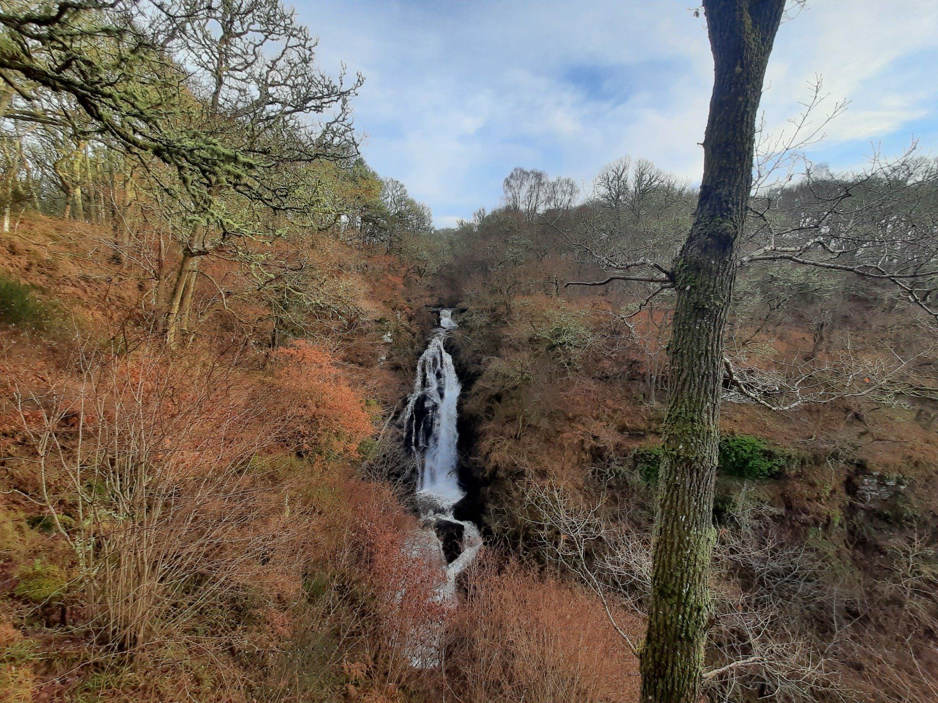
This is a lovely walk around Pitlochry, visiting a spectacular waterfall, a ruined castle, an old coaching inn and brewery and a bouncy bridge! The route offers super views of Pitlochry. The walk is 8,5km long with about 220m of ascent, but can be extended to include Craigower (this adds about 5.5km and 230m of ascent).
The walk can be done from anywhere in Pitlochry. From Atholl Road (the main road running through the centre of the town), turn off at the junction for the Atholl Palace Hotel. Rather than going up to the hotel, the route follows Knockfarrie Road and a path then leads into the woods. Follow signs for the Black Spout, which is a spectacular 20m waterfall. Nearby, there are the remains of an old Iron Age homestead which was excavated between 2005 and 2009 (but nowadays well covered by vegetation). One of the items found was a glass toggle, or pendant, made of re-used Roman glass!
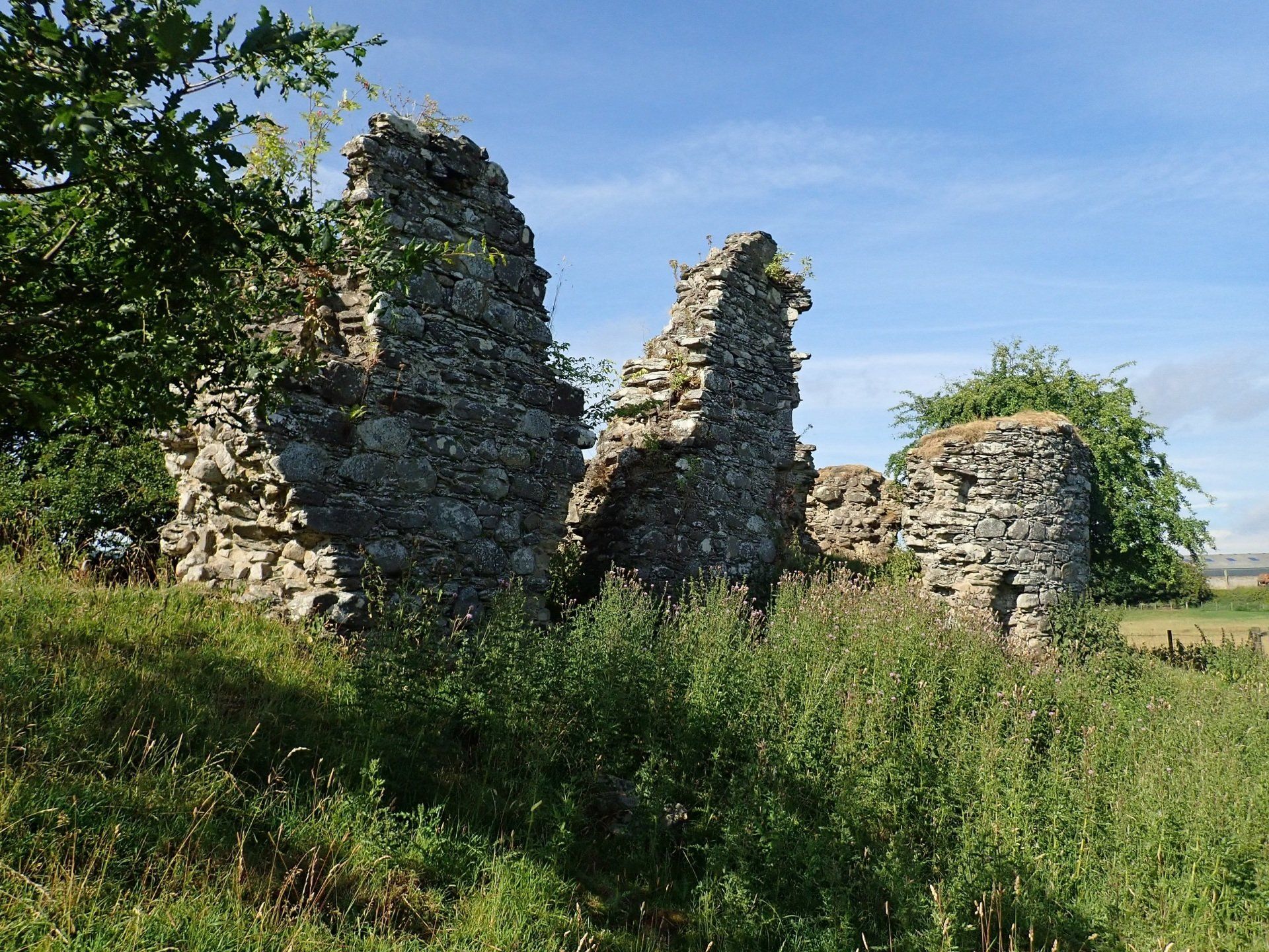
The route then follows signposts for Moulin. On the way, the route passes the ruined Caisteal Dubh (the “Black Castle”) which has an interesting story to tell. This castle may have been built (in the 1320s) on an island or promontory in a shallow loch. It was inhabited until 1500 when, as the story goes, a messenger brought the great plague to the area. The castle was destroyed to create a funeral pyre for the victims.... The loch was drained in 1720 but remained a marsh for another 100 years.
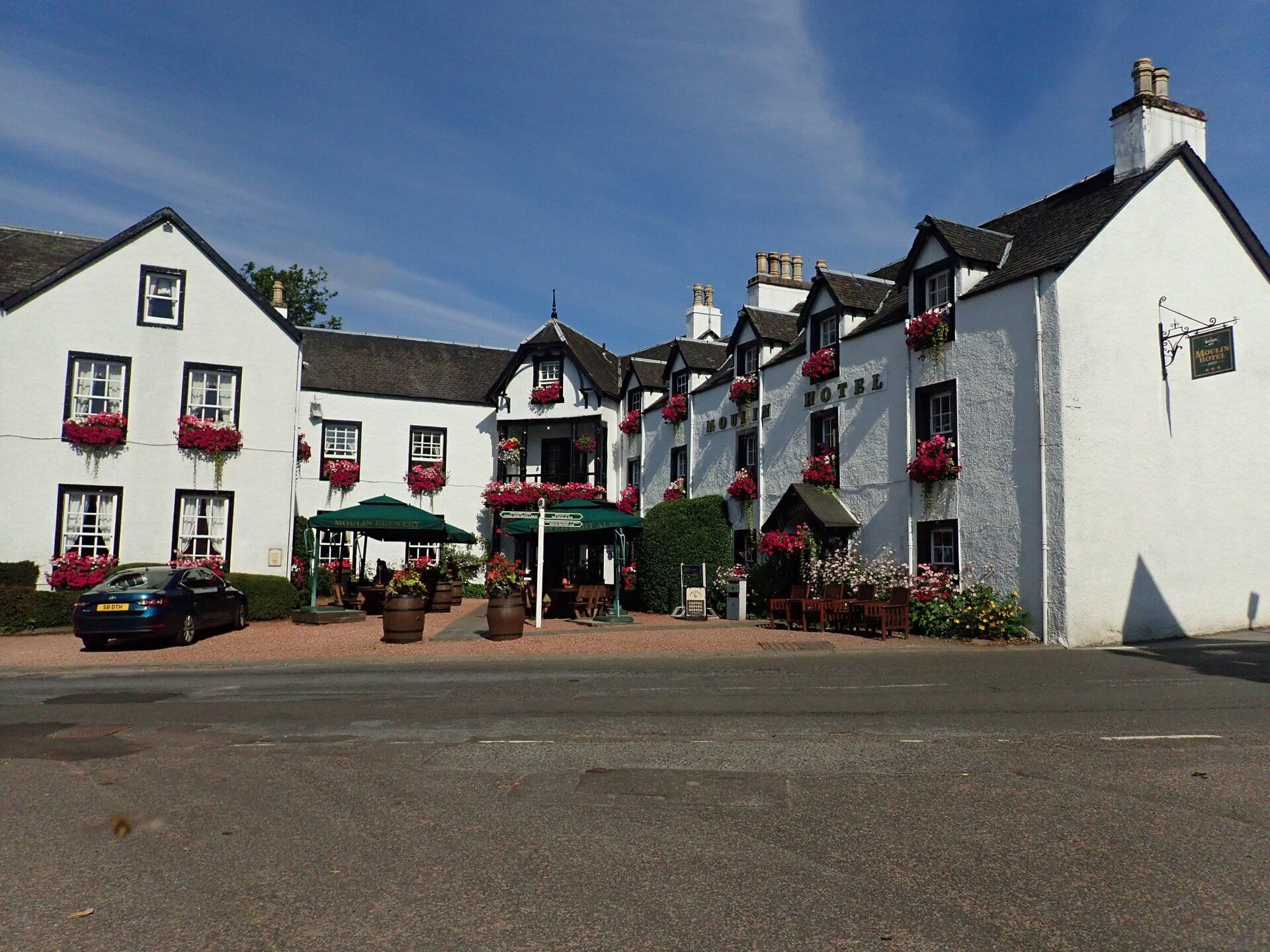
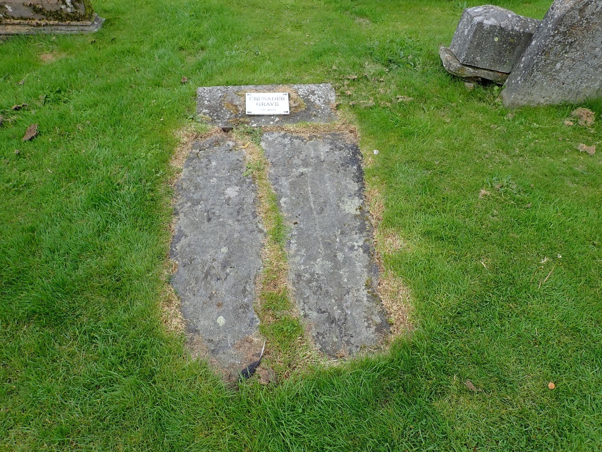
Moulin is a much older village than Pitlochry, and there are some suggestions that it was a settlement in Roman times. The village lies on an ancient crossroads on the old route from Perth to Inverness and a route from Strathardle to Strathtay. There's an old coaching inn which dates from 1695 (a great place for a refreshing drink or trying out the local beer that they make just at the back of the inn). In the local churchyard, there are two slabs known locally as the "Crusader Graves".
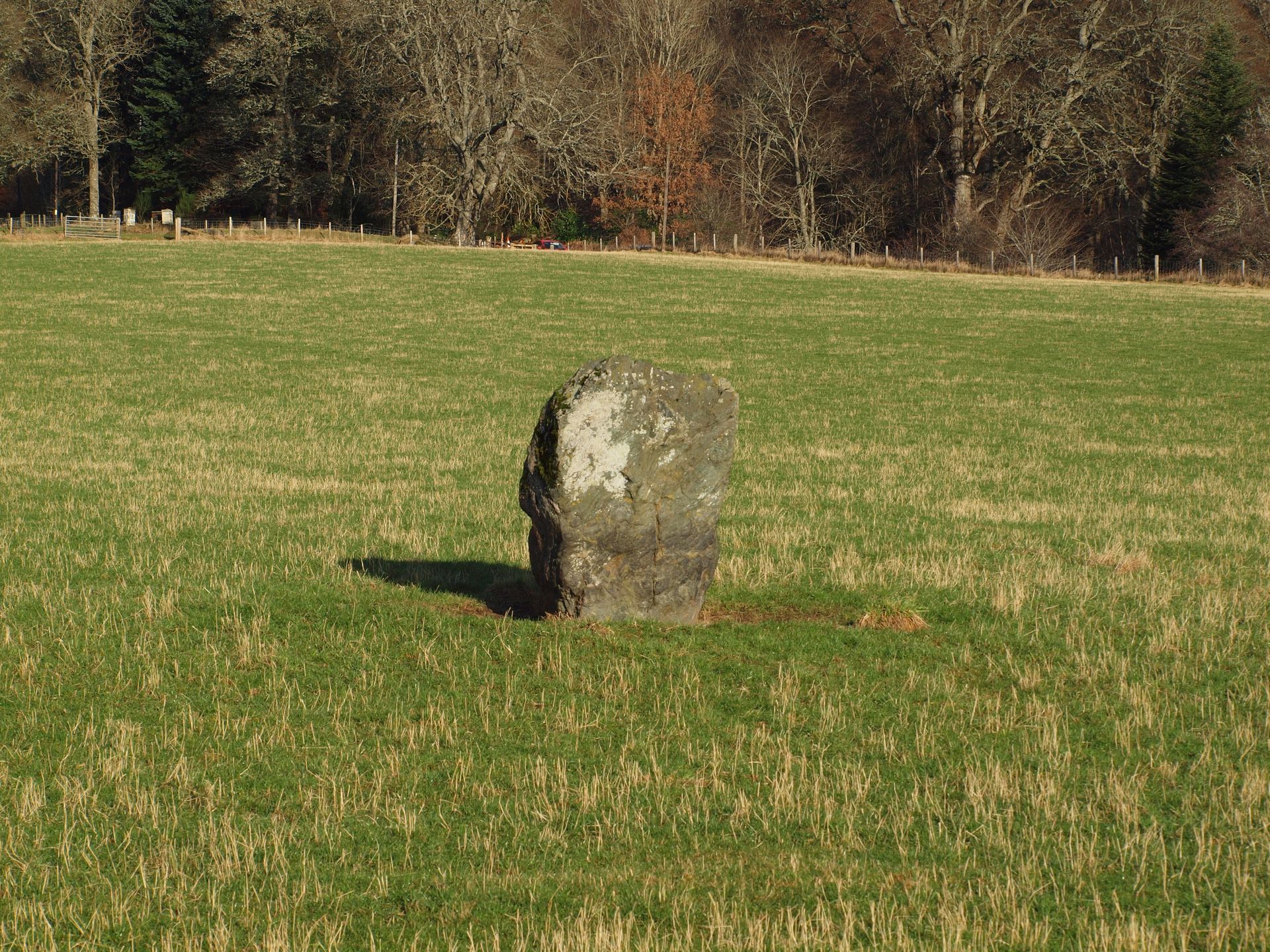
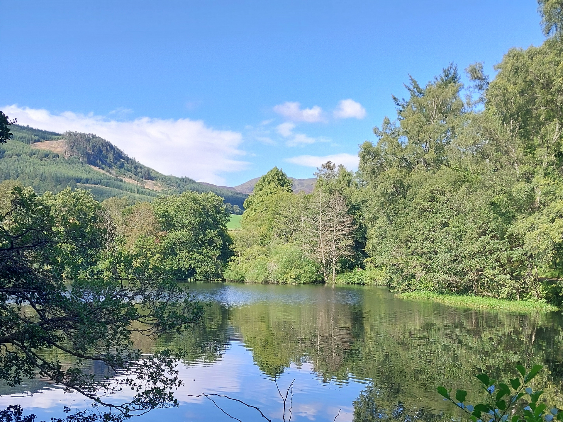
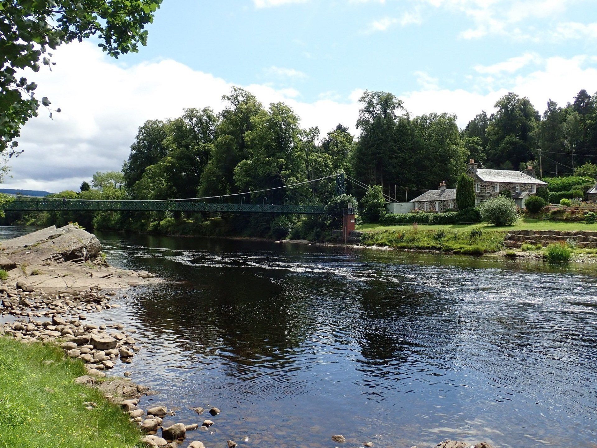
The route then follows what was, a long time ago, the main road to the north. On the way, look out for the Dane Stane in a field. The local market used to be held in this field. After reaching the golf course, the route then follows signposts back into Pitlochry (please be aware of golfers on the course and make sure you watch for golf balls if someone is playing golf!). The route then goes past The Cuilc. This large pond was once a marl pit that used to drain to the west, but now drains eastwards to help drive the meal mill in Pitlochry. The route now descends down a steep road to the banks of Loch Faskally. On the way, please take care when you cross over the railway line and and the main road into Pitlochry. Follow the path along the banks of the loch to Pitlochry Dam. Cross the dam and walk by the famous fish ladder and past the Pitlochry Festival Theatre to Port-na-Craig. Here, the route follows a bouncy suspension bridge! The path soon brings you back into the centre of Pitlochry.
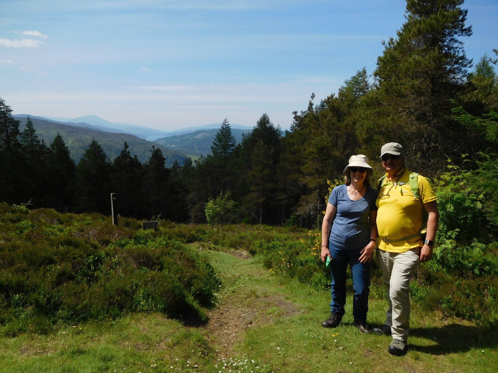
The route can be extended into a longer walk by climbing up to the scenic viewpoint of Craigower. If you're lucky with the weather, you can see Schiehallion and the distant hills of Glencoe from the viewpoint. Another option is to walk to the Pitlochry Boating Station from Lagreach at the bottom of Cuilc Brae, then cross over Loch Faskally on the footbridge below the A9 bridge and walk along the western shoreline of Loch Faskally to the Pitlochry Dam.
The description above is not a detailed one. If you wish to try this walk, please make sure you are properly equipped and prepared, and that you have worked out the route on an OS map (the route is on the Landranger map 52 or the Explorer OL49.

