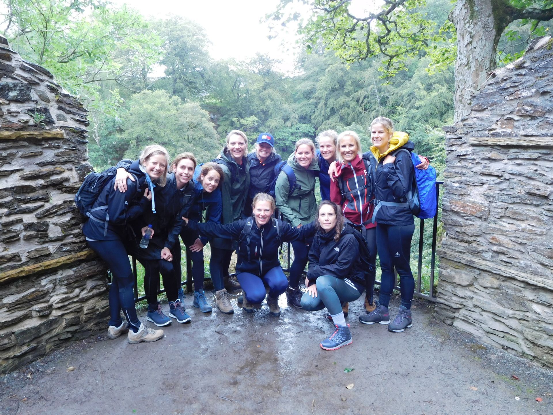
Kenmore Hill & Falls of Acharn
Route: Kenmore Hill & Falls of Acharn
Distance: 13km
Ascent: 530m
Grade: Moderate
Time taken: About 6 hours
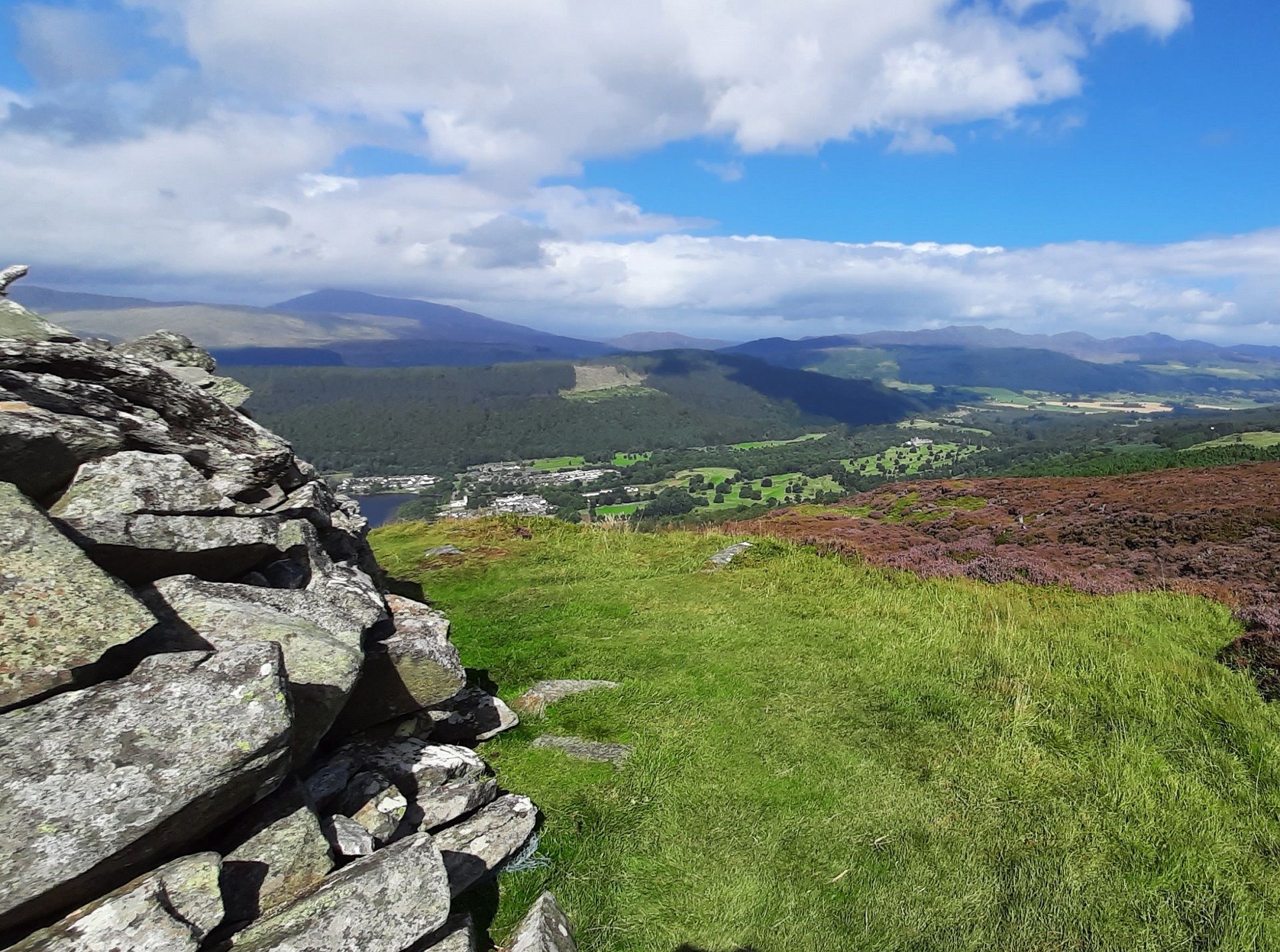
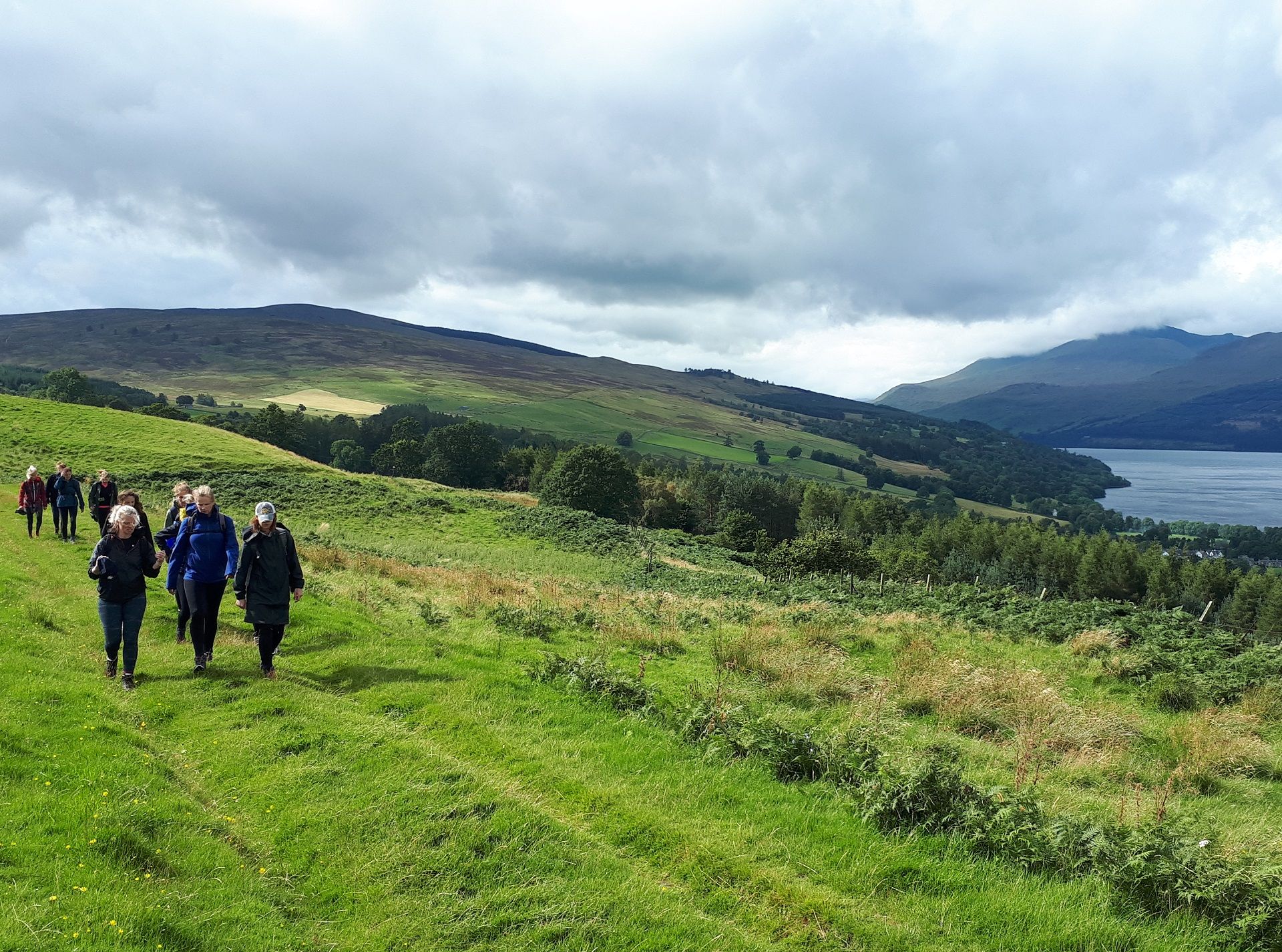
Kenmore Hill is a great viewpoint, with Ben Lawers, Schiehallion and Strath Tay all prominent. This super walk also takes in the Queen's Drive, an ancient stone circle and the impressive Falls of Acharn.
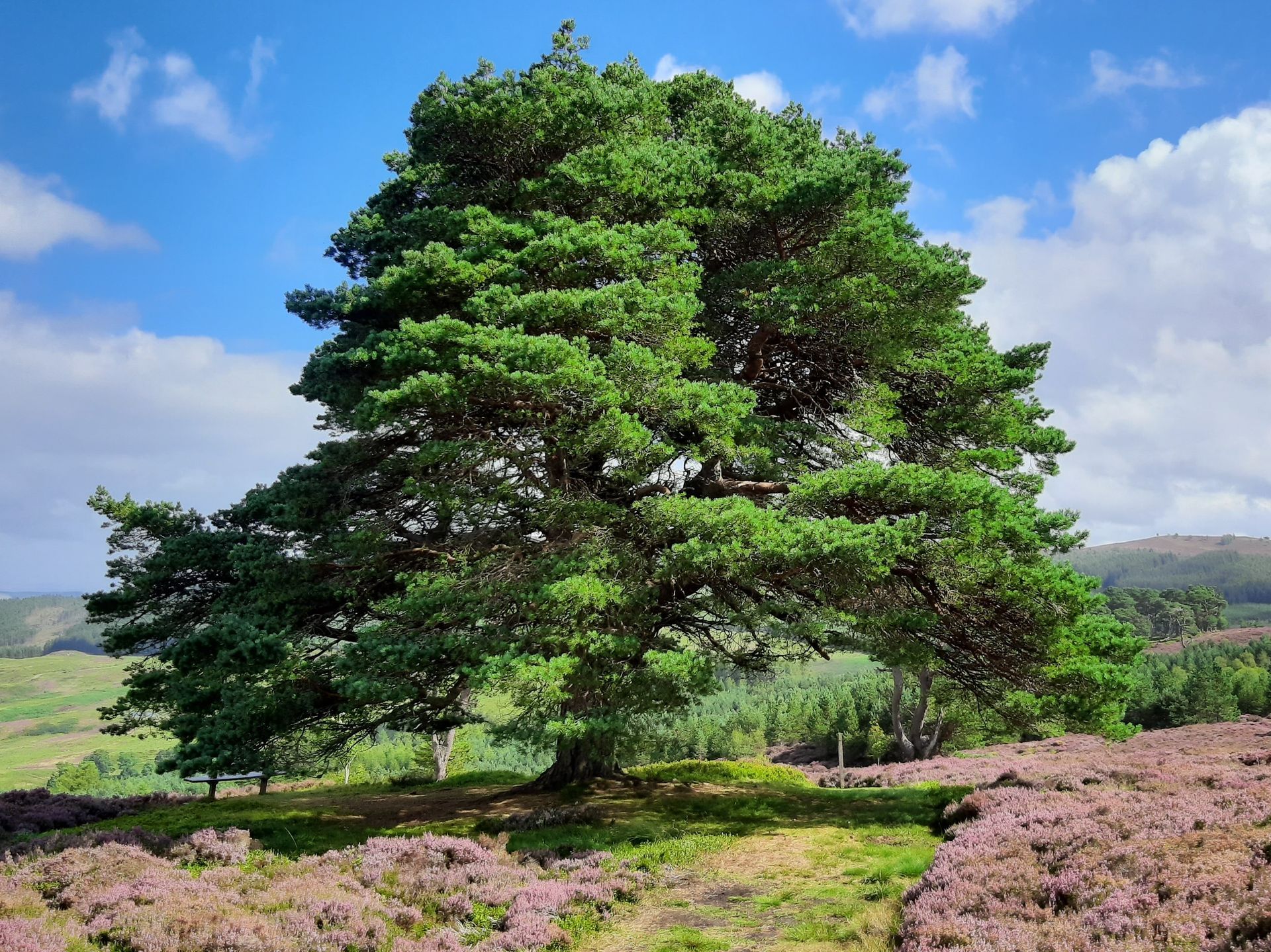
The walk up Kenmore Hill (in Gaelic, Creag an Fhudair) starts in Kenmore village, by a beach with an excellent view along Loch Tay towards Ben Lawers. The route follows a minor road and then good paths to the summit. As you climb, the views open up and there is a marvellous vista of Ben Lawers, Schiehallion, the Glen Lyon hills and Loch Tay, particularly from a lovely old Scots Pine. The area is managed as a community woodland.
After admiring the views from the top of the hill, the route follows a path (not marked on maps) down the west and north slopes of the hill to eventually reach the Queen's Drive - a good track which is also part of the Rob Roy Way. The track offers good views across Loch Tay to Ben Lawers. About 0.5 km beyond Balmacnaughton, there is an option to head up the hill for about 0.5 km to reach an ancient stone circle. From here, the route heads back to the Queen's Drive and continues westward until you reach the Acharn Burn.
The track then descends to the impressive Falls of Acharn (visiting the "cave" is well worth it for the view of the Falls) and the village of Acharn nestled on the shore of Loch Tay. The route from here goes down to the loch shore at Acharn Point and then to Remony. From here, the route is either along the minor road back to Kenmore or to follow a track up through Remony Farm and down to near the Scottish Crannog Centre. This is an interesting place with lots of stories to tell about crannogs. Unfortunately, the old crannog was destroyed by fire recently but it is being rebuilt in a new centre on the other shore of the loch at Dalerb.
The description above is not a detailed one. If you wish to try this walk, please make sure you are properly equipped and prepared, and that you have worked out the route on an OS map (the route is on the Landranger map 52 or the Explorer maps 379 and OL489.
Or you can book us for the day and we'll guide you along the route and tell you lots of things about the route, the area and what you're seeing.
