Rob Roy Way taster
Route: Rob Roy Way between Pitlochry and Aberfeldy
Distance: 14km
Ascent: 400m
Grade: Moderate
Time taken: About 6 hours
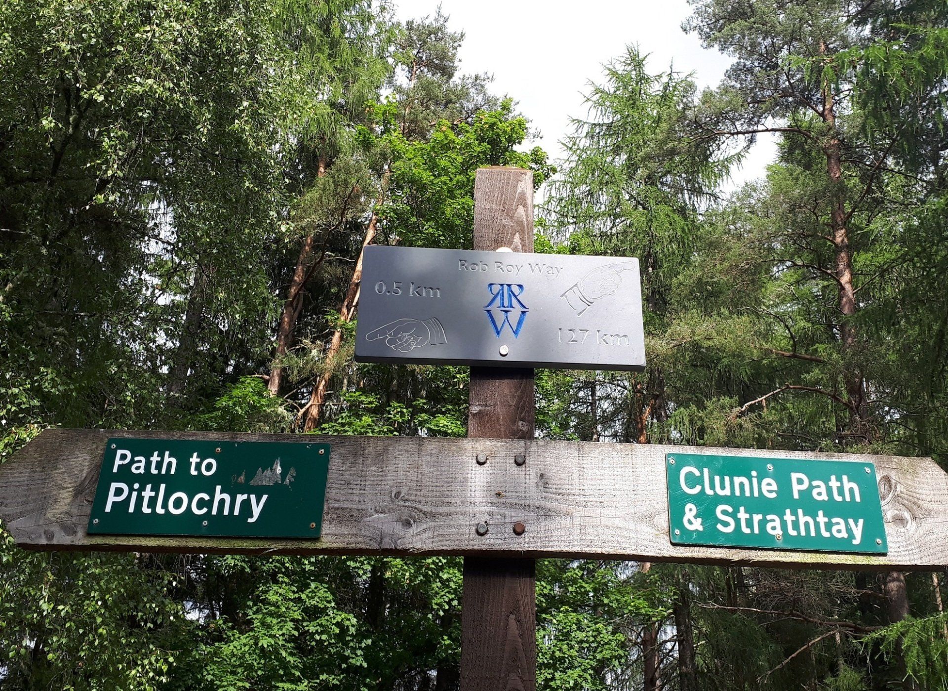
This is a lovely walk between Pitlochry and Aberfeldy, along the Rob Roy Way. The walk takes in the atmospheric Clachan an Diridh (the “stones of the ascent”) and the lovely village of Grandtully, and follow some historic paths. The final section follows the banks of the mighty River Tay.
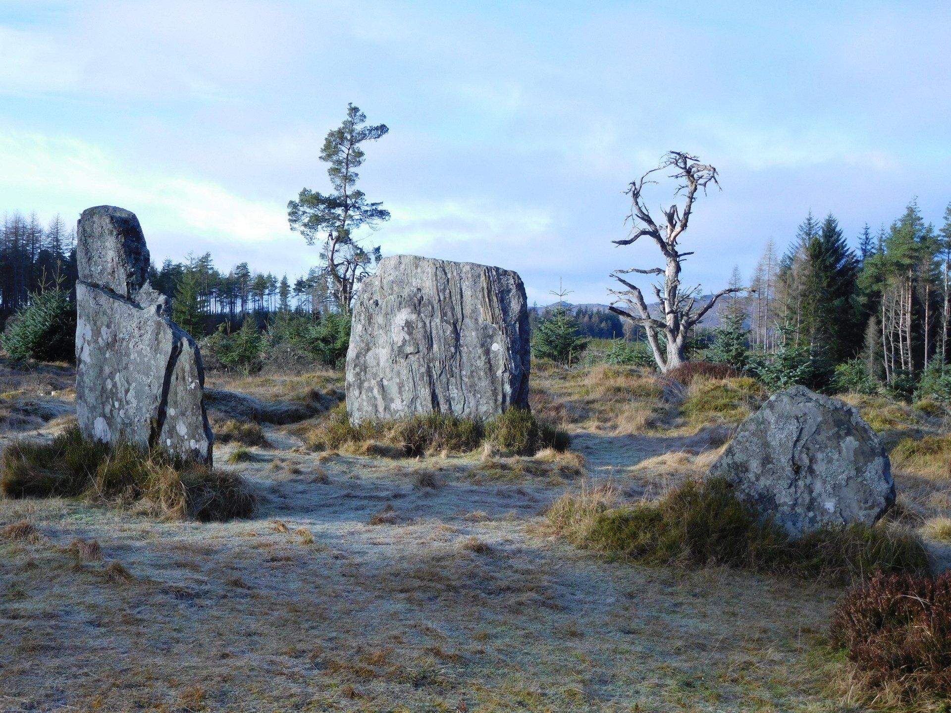
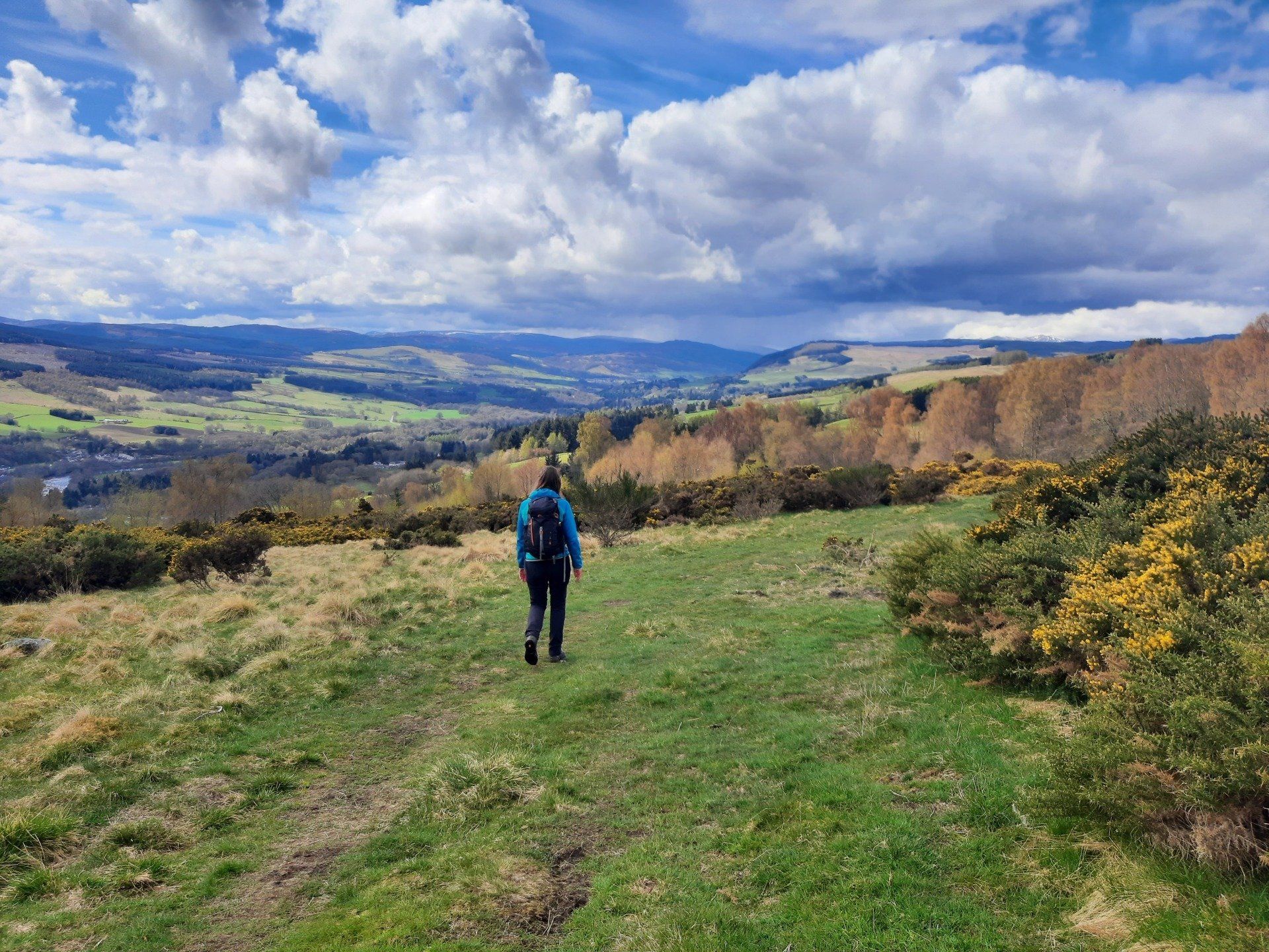
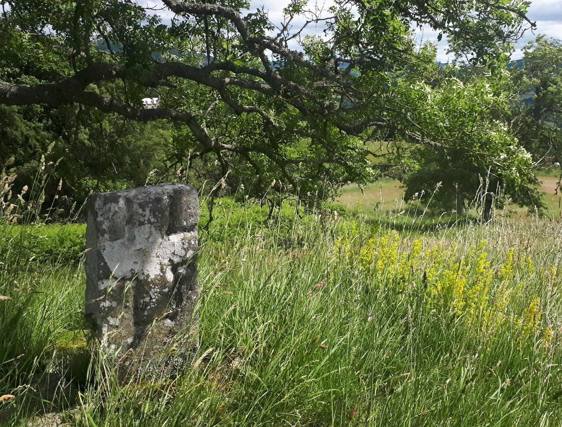
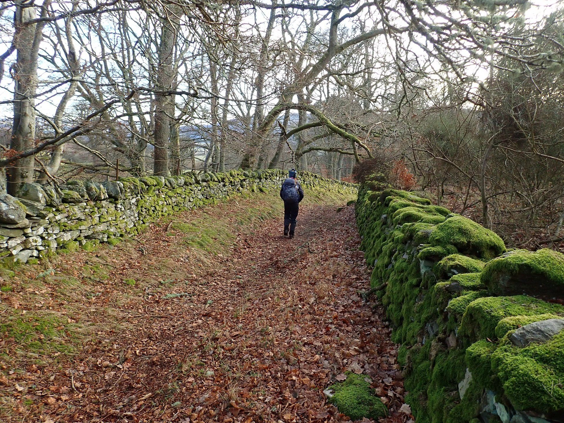
The walk starts in the walk in the centre of Pitlochry. After crossing the famous “bouncy bridge”, we follow an old right of way to the Clachan an Diridh (the “stones of the ascent”). After spending some time at this atmospheric place, we walk across a moor that offers some great views out towards Ben Lawers and Schiehallion. An ancient route then takes us past the site of St Mary's Chapel and into the lovely little hamlet of Strathtay. From there we walk into Grandtully and stop for refreshments – there are three wonderful places to have a drink and some food. We then follow the Rob Roy Way alongside the River Tay to Aberfeldy to complete a super day.
To return to Pitlochry, you can catch a bus or a taxi from Aberfeldy. Buses are every hour from Aberfeldy so you can stay longer in the town and catch a later one if you wish.
You can also do a shorter version of this walk, either retracing your footsteps back to Pitlochry from Grandtully (after some refreshment at one of the hostelries in the village) or by catching a bus from Grandtully.
You can also do this walk in reverse: either catching a bus from Pitlochry to Aberfeldy at the start of the day or walking from Aberfeldy (if you're living or staying there) and catching a bus back from Pitlochry in the afternoon.
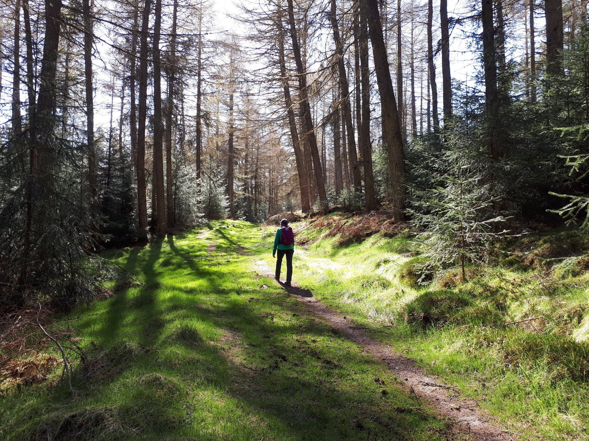
The walk follows mainly good paths and tracks, but with some wetter ground for a time.
The description above is not a detailed one. If you wish to try this walk, please make sure you are properly equipped and prepared, and that you have worked out the route on an OS map (the route is on the Landranger map 52 or the Explorer map OL49.
Or you can book us for the day and we'll guide you along the route and tell you lots of things about the route, the area and what you're seeing.
