Craig Fonvuick & Pass of Killiecrankie
This is a fantastic half-day walk up Craig Fonvuick with excellent views and then through the stunning Pass of Killiecrankie. The walk is 8km long and has about 400m of ascent.
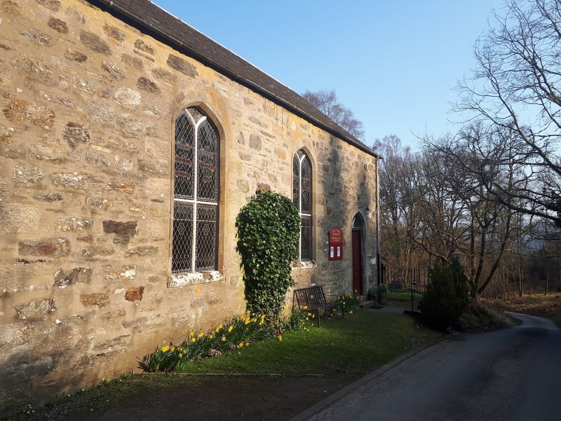
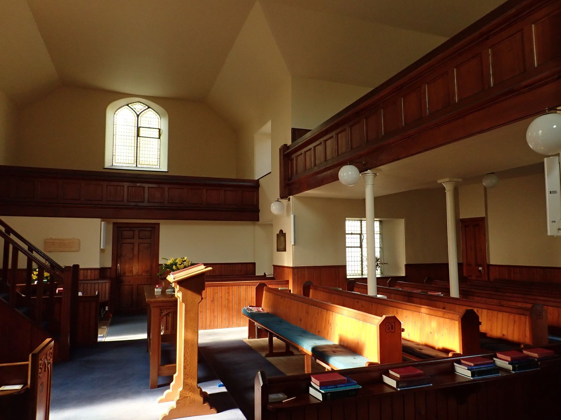
The walk usually starts and finishes at the Garry Bridge car park, which is about two miles from Pitlochry. From the car park, the route follows a minor road to Tenandry Kirk. If the door is unlocked, the Kirk is worth a visit. It was built in 1836 as a "chapel of ease". It has a T-plan pattern which was common at the time. Continue past the kirk and up the road to near Fonvuick farm. Just after this, on the left, is a signpost for the "Craig Fonvuick loop walk".
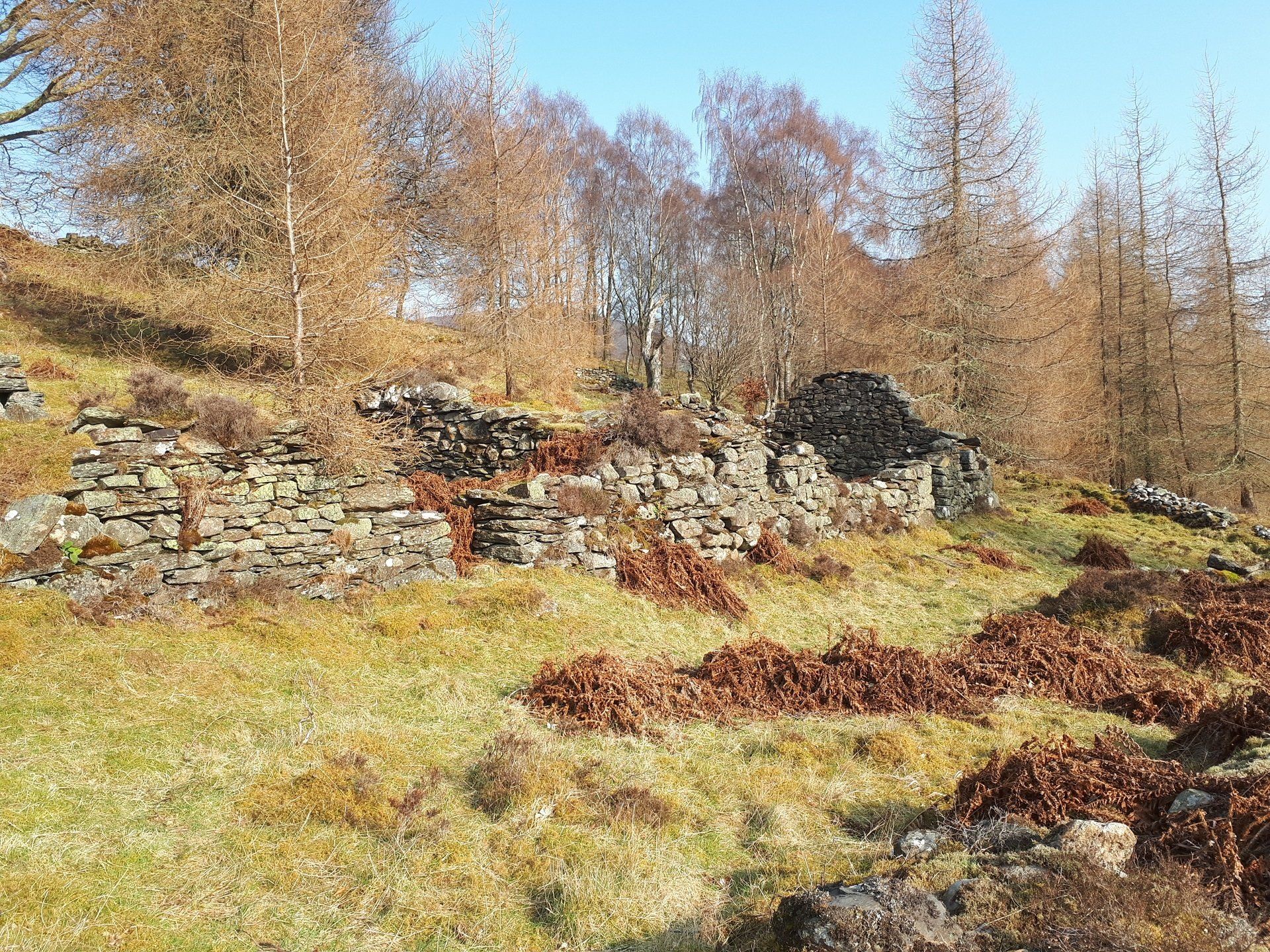
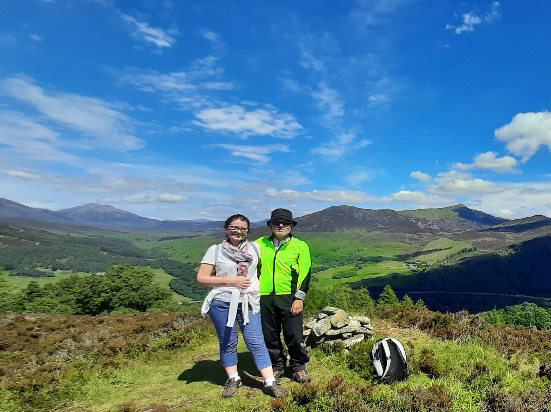
Follow a good path up through an old woodland to the old ruined homesteads of Corhulichan. These were probably abandoned in the late 19th Century. It's an atmospheric spot and worth a few minutes to wander around. The path continues up the hill. When it reaches the top of the rise, there is a path to the right which takes you to Craig Fonvuick (413m) – a super viewpoint.
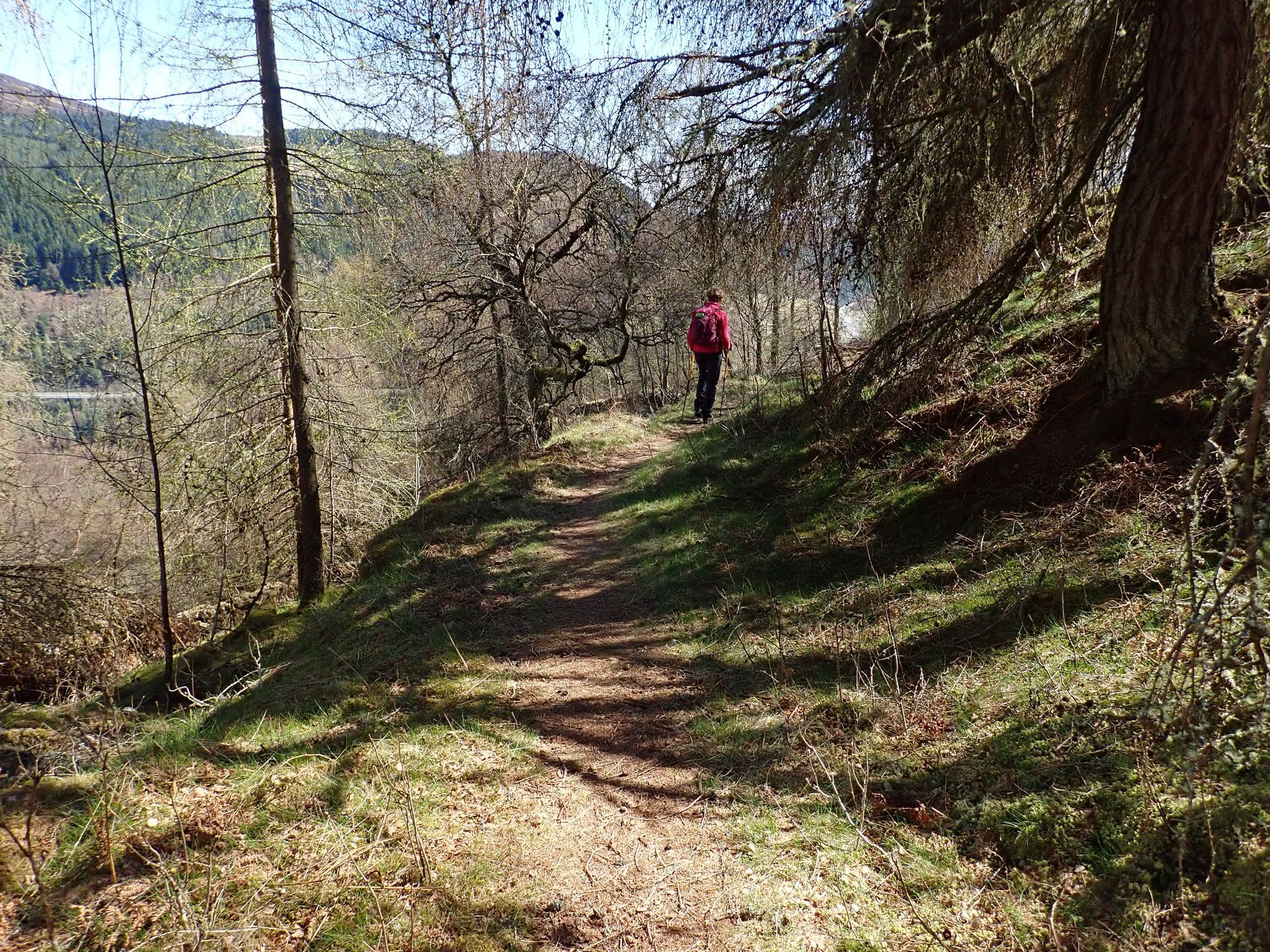
After admiring the great views from the summit of Craig Fonvuick, return to the main path and follow it to the NW. There are good views down to Blair Atholl and Blair Castle from here. When the path reaches some fields, it turns to the right and goes further down the hill to Balrobbie Farm where it joins a minor road to the little village of Killiecrankie. The path can be wet in a couple of places (particularly just above the farm) but is easy to follow. There is an excellent cafe at the Killiecrankie Visitor Centre.
From here, the route follows path down to the famous Soldier's Leap and into the Pass of Killiecrankie. The Battle of Killiecrankie took place in 1689 between the Jacobites and Government forces. The Jacobites were victorious but it came at a high cost, with their charismatic leader and a third of their men killed. One Government soldier, Donald MacBean, escaped by jumping an incredible 18ft over the River Garry - hence the Soldier's Leap!
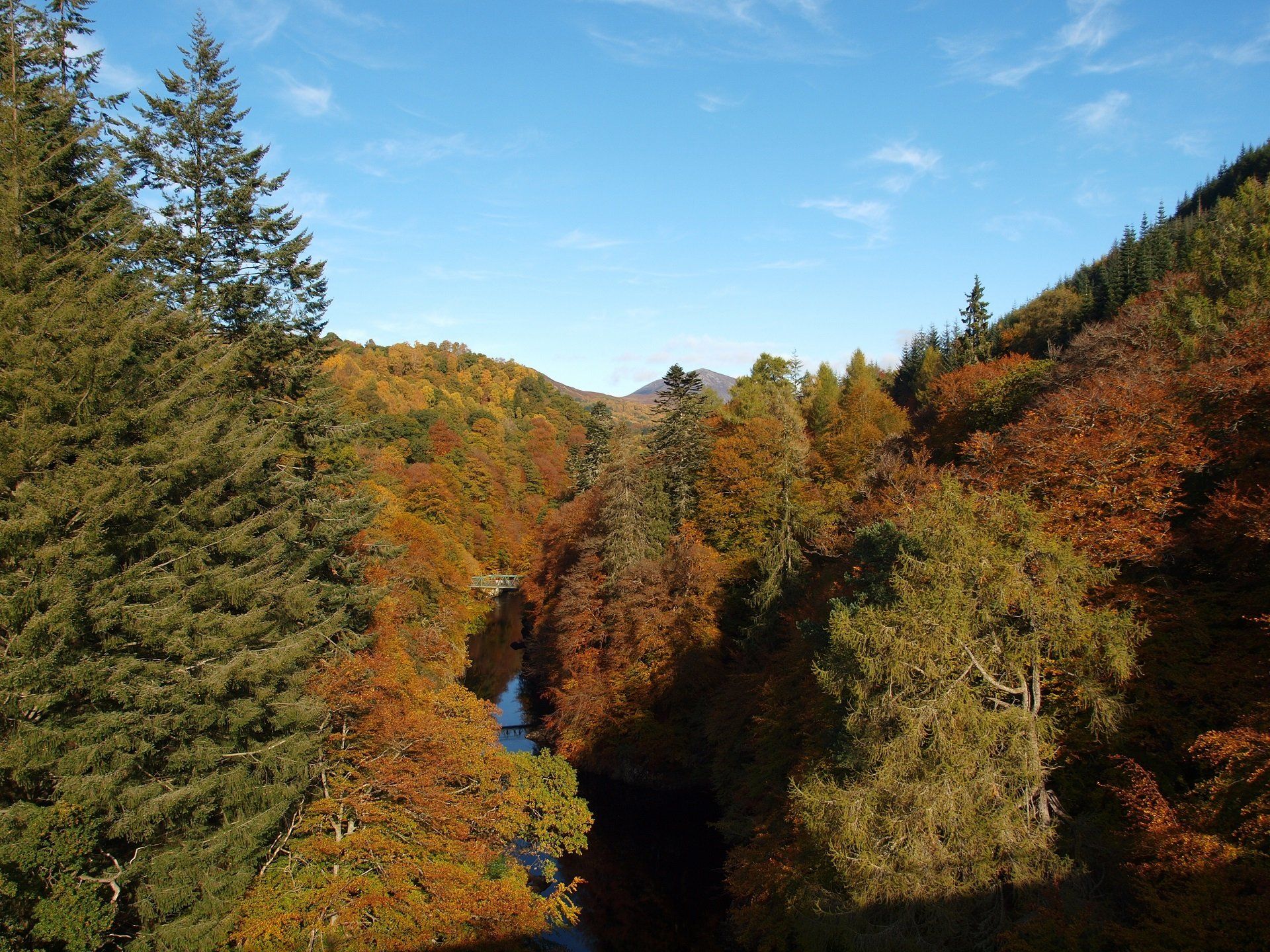
In Gaelic, the gorge is called Coille Chneagaidh (or Coille Chreithnich). This means "wood of the shimmering aspen" - it's a lovely wooded gorge that is particularly scenic in the autumn. The path runs close to the river. The bridge across the river is currently closed, so return to the car park via the signposted diversion.
This route can be extended into a longer walk by starting and finishing either at Loch Dunmore in Faskally Woods or in the town of Pitlochry. The walk to and from Pitlochry adds at least two hours to the walk.
The description above is not a detailed one. If you wish to try this walk, please make sure you are properly equipped and prepared, and that you have worked out the route on an OS map (the route is on the Landranger map 52 or the Explorer OL49.
