Carn Liath & the Witch's Mountain
Route: Carn Liath and the Witch's Mountain
Distance: 15km
Ascent: 700m
Grade: Very strenuous
Time taken: 7 hours
OS Map: 43
This attractive Munro is part of the Beinn a' Ghlo massif which is seen from many parts of Perthshire.
The route starts and finishes at the informal car park at the road end by Loch Moraig. To get there, drive to Blair Atholl and take the minor road to Old Bridge of Tilt. From there, follow the road up the hill (signposted to Monzie).
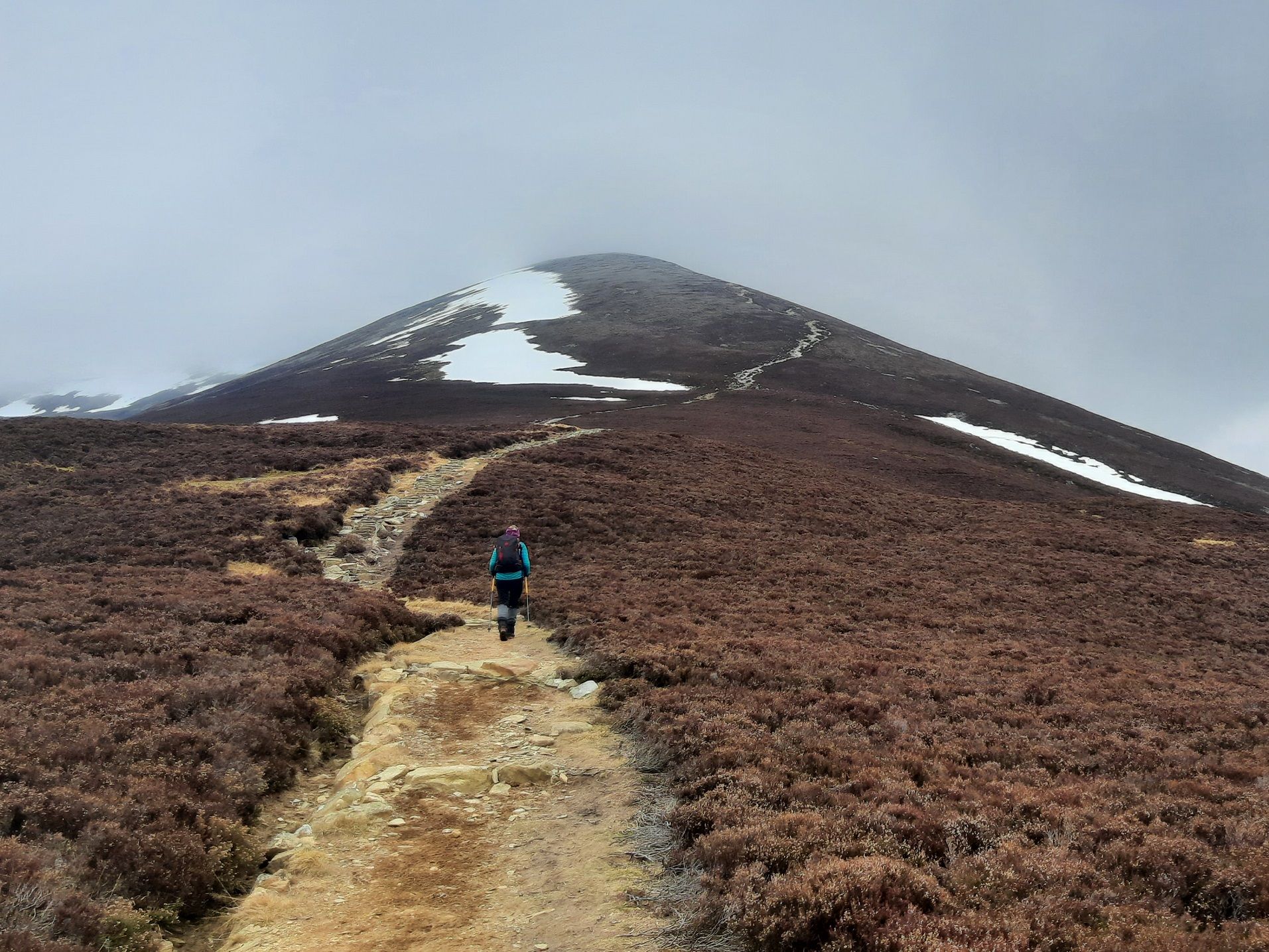
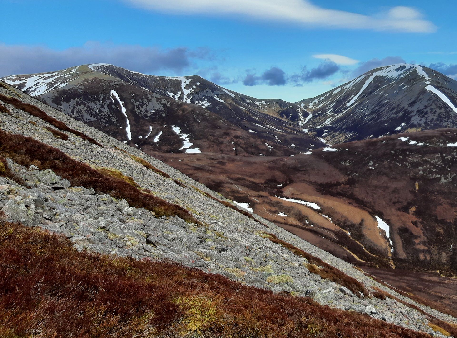
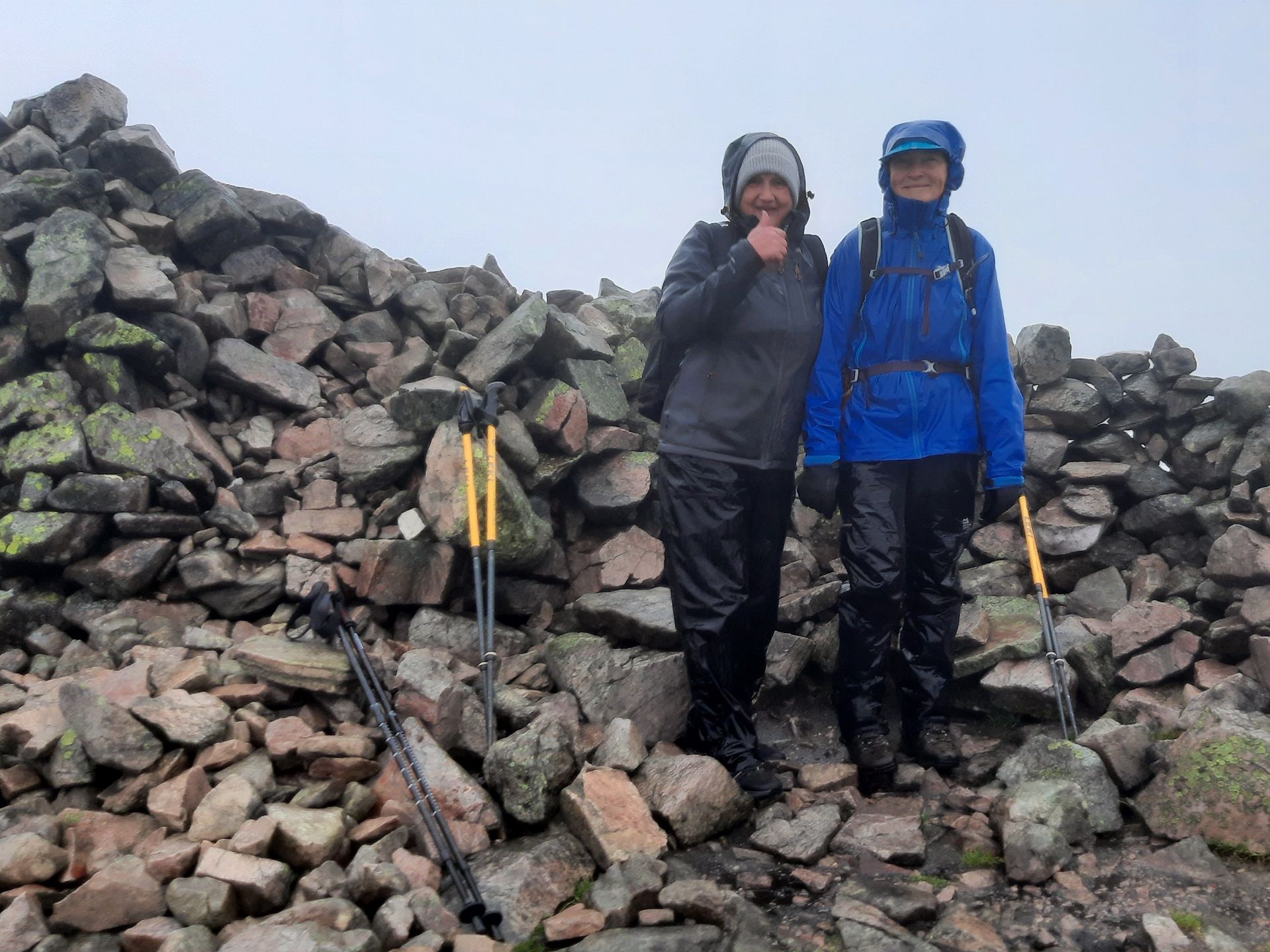
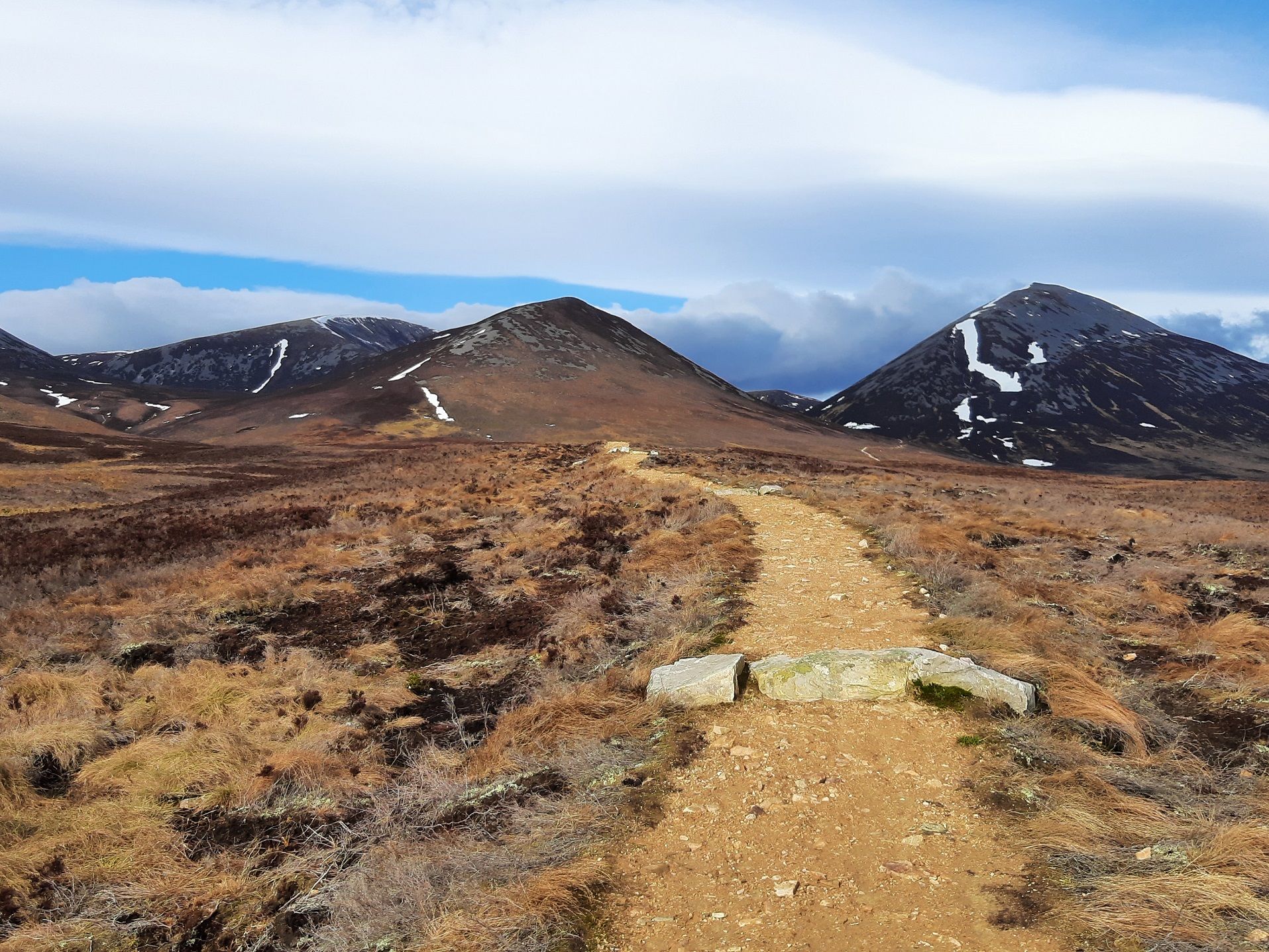
The route follows a good track and then a path which branches off next to a shepherd's hut. After a wet section with stepping stones, a renovated path climbs up Carn Liath. The summit offers some great views on a good day. From the summit, the route continues along a high ridge before dropping to a col. From here, a faint path heads down into one of the many corries of this complex hill. After crossing some moorland, the route picks up a good path which takes us back to our starting point. There are some great stories about the Witch's Mountain!
The walk follows good paths and tracks, except for a pathless section of under 2km. This is a full mountain day reaching a height of 975m – the temperature and the weather can change a lot between the low valleys and the summit.


