A General Wade military road above Calvine

This walk offers excellent views to the south and includes a stretch of old military road created by General Wade in the 1720's.
Distance: 12km
Ascent: 350m
Grade: Moderate
Time taken: About 4 hours
Our walk started in the car park at the
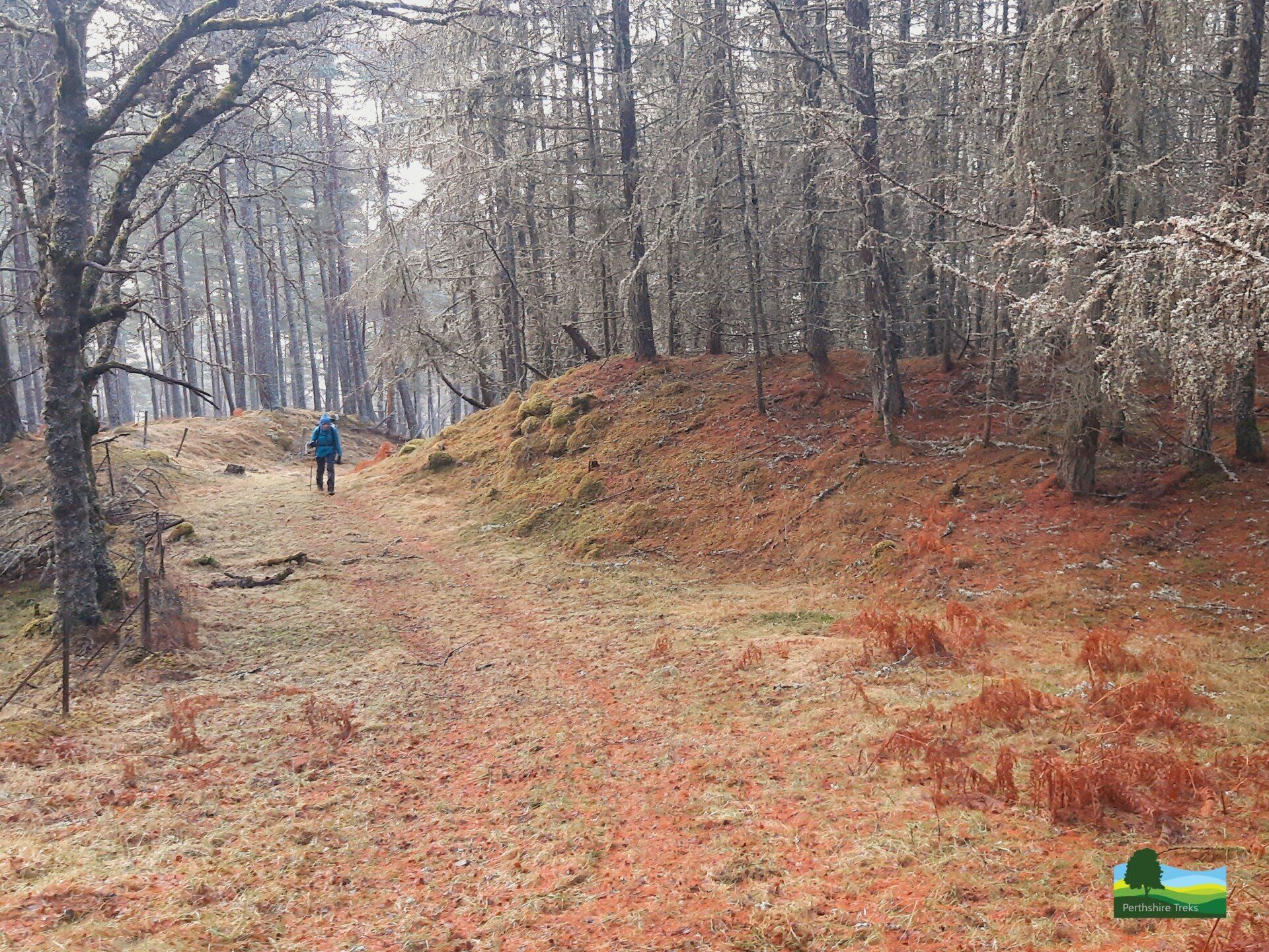
House of Bruar which is just off the A9 north of Blair Atholl. Following signs for the Falls of Bruar, we walked through a short tunnel under the railway line. After a short distance, we turned off the main track to follow a path on the left that runs into the woods. This path turns quickly into a track that takes you through the wood and to a big gate on the moor.

The path in Bruar Wood
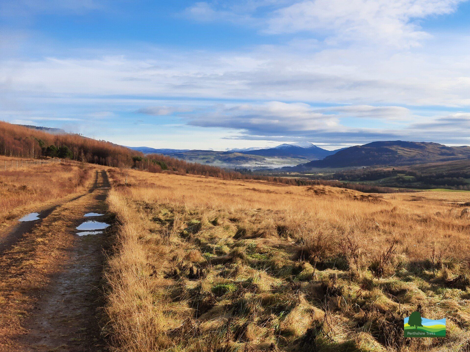
Track on open moorland above Bruar
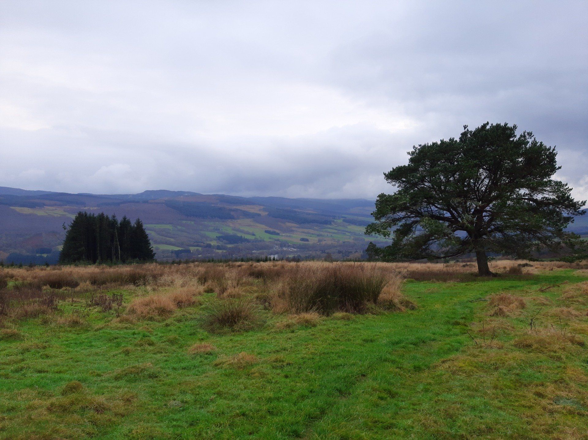
After about 1 km, we reached a junction with a track that comes up from Calvine. We turned right here and followed the track, which runs alongside a forest plantation, to near the summit of Colrig. There is another track at this point (sharp left) which takes you down to a bridge across the Allt a' Chrombaidh. We followed the track back down the hill towards Clunes Lodge, appreciating the great views to the south which takes in Farragon Hill and Schiehallion.
About 2km down this track, there is a less distinct track heading off to the left by a low wall and with birch trees alongside it. This is a General Wade military road built in the late 1720's. The drainage was a bit poor in places but a lot of it is firm and you can still see the road surface.
General Wade was responsible for building four major routes, including that from Dunkeld to Inverness. They were built to make it easier for troops to reach into various parts of the Highlands as a way of quelling local populations. This could work both ways so, during the 1745 Jacobite rebellion, Bonnie Prince Charlie and his army were able to make use of the roads to march quickly southwards! General Wade was succeeded by Major William Caulfield who ended up building an even larger network of military roads.

The sharp track junction on the moor above Clunes
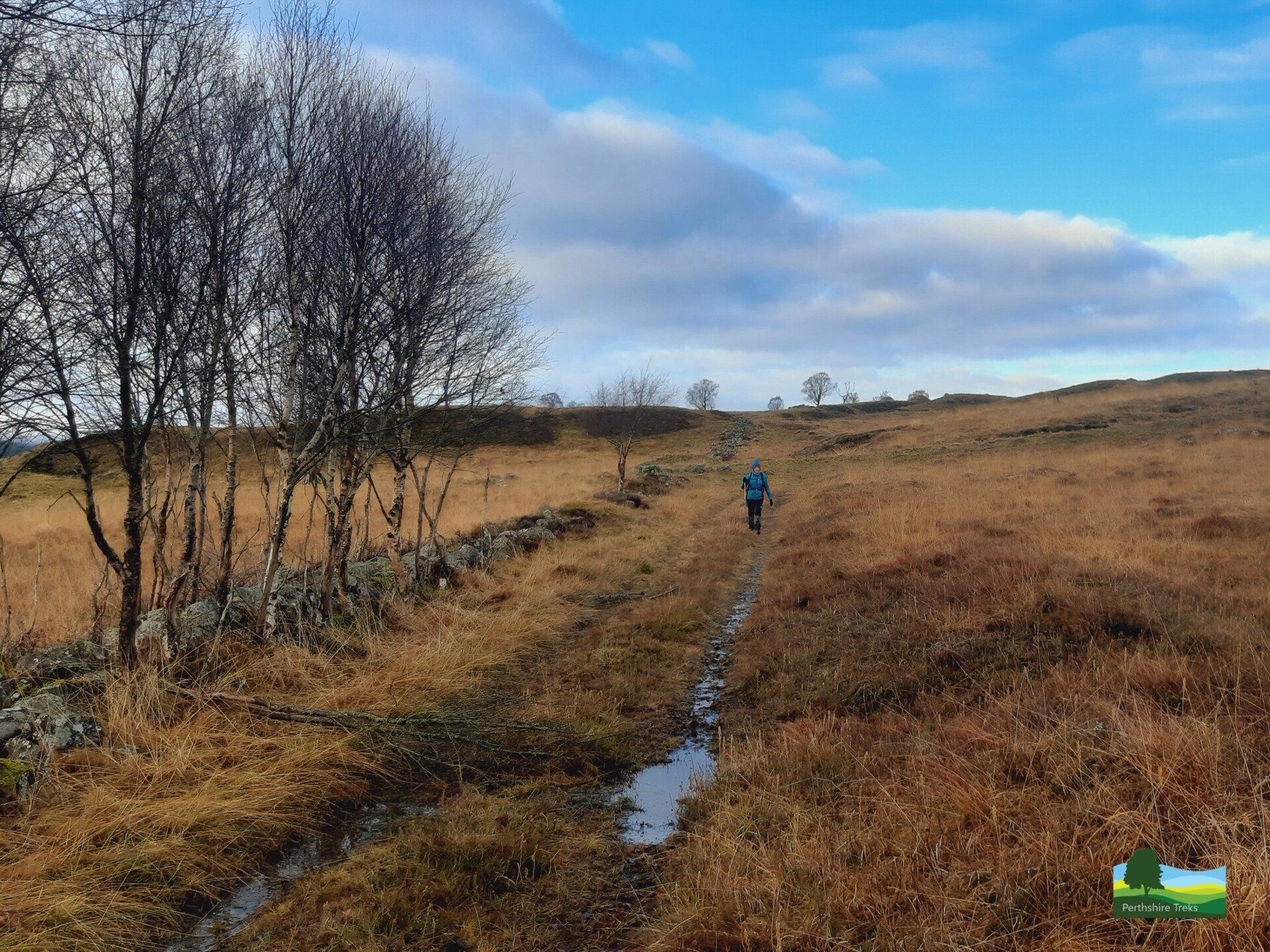
The General Wade military road above Clunes
The military road continues for about 3km. Along the way, the military road goes over the "Eye of the Window" bridge, which was built by General Wade's workforce in 1728. It was restored in 1985 by the Association for the Protection of Rural Scotland with the help of volunteers from the Scottish Conservation Projects Trust. It's a great spot with the bridge spanning the Drochaid na h-Uinneige, which is a bit like a miniature Falls of Bruar.
From there, we continued to follow the military road across the moor back towards Calvine with some great views down the River Garry and with Ben Vrackie in the distance. After a while, we reached the track which comes up from Calvine. At this point, the old military road disappeared into thick vegetation and is crossed by some fences. From here, we decided to follow the route back to Bruar that we started the walk on.
After returning to Bruar you can either explore the Falls of Bruar or return to the House of Bruar and explore the shops or go for a cup of coffee and cake!
The "Eye of the Window" bridge, built in 1728
The General Wade military road above Clunes
The description above is not a detailed one. If you wish to try this walk, please make sure you are properly equipped and prepared, and that you have worked out the route on an OS map (at 1:50,000 the route we followed is on sheets 42 (Glen Garry & Loch Rannoch) and 43 (Braemar & Blair Atholl), and at the !:25,000 scale it is on the Explorer map 386 (Pitlochry & Loch Tummel)).
Or you can book us for the day and we'll guide you along the route and tell you lots of things about the route, the area and what you're seeing. A full-day walk could include the walk described above as well as a walk around the lower and upper Falls of Bruar. To book a full-day walking adventure with us, please go to this page: